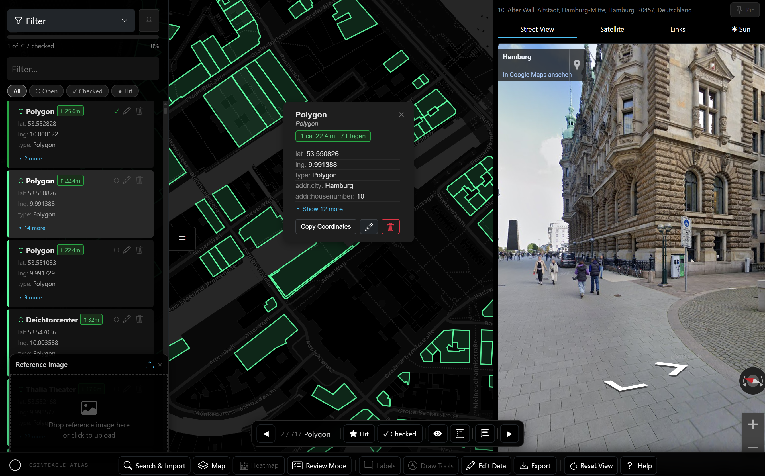
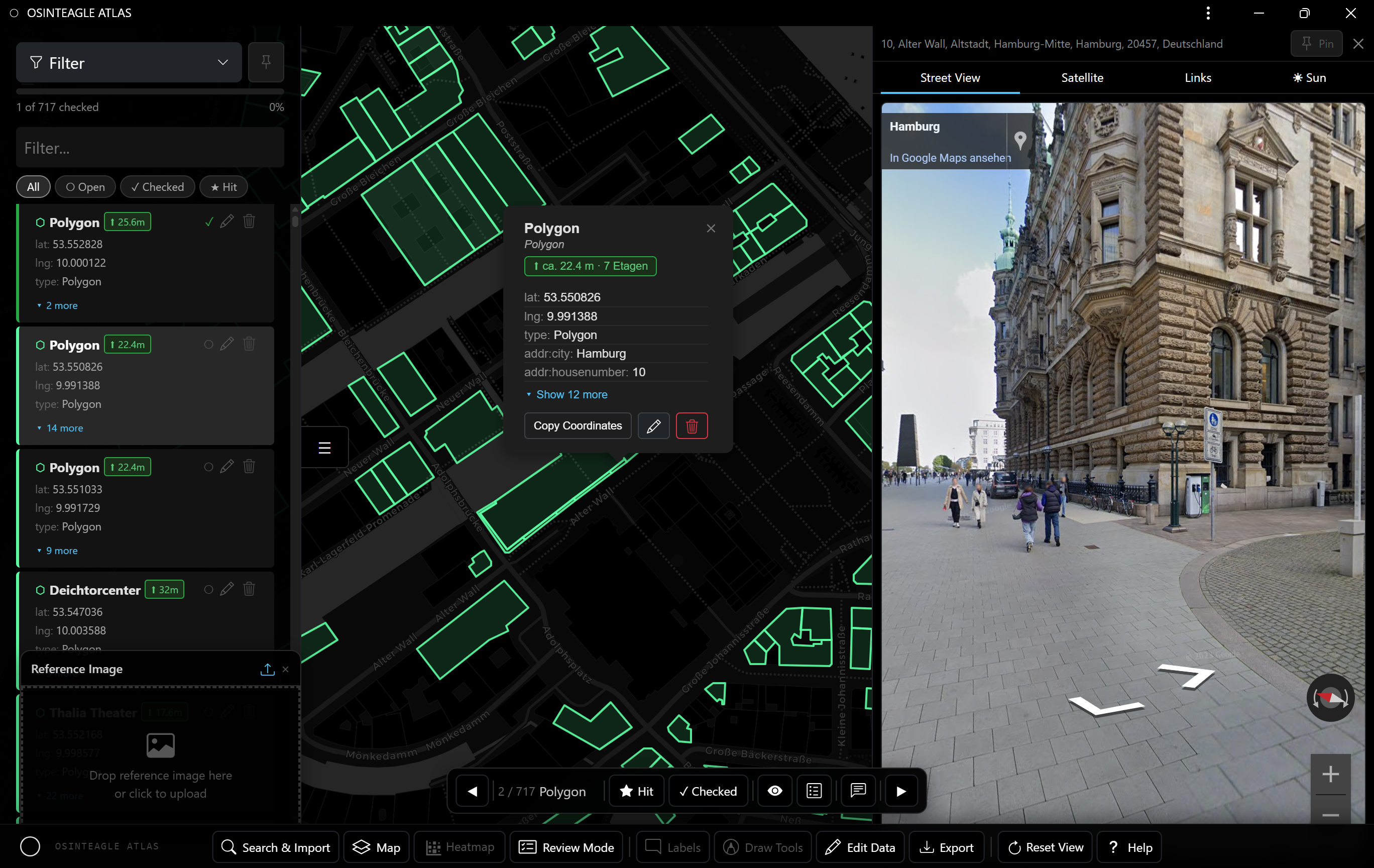
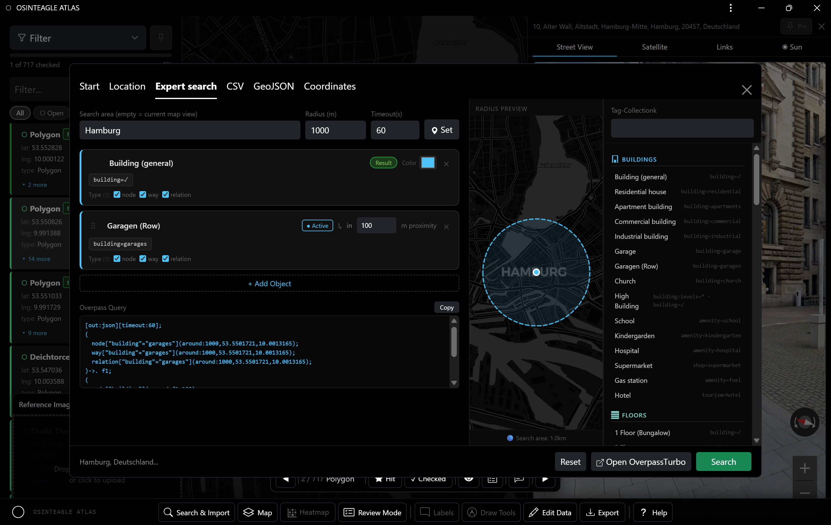
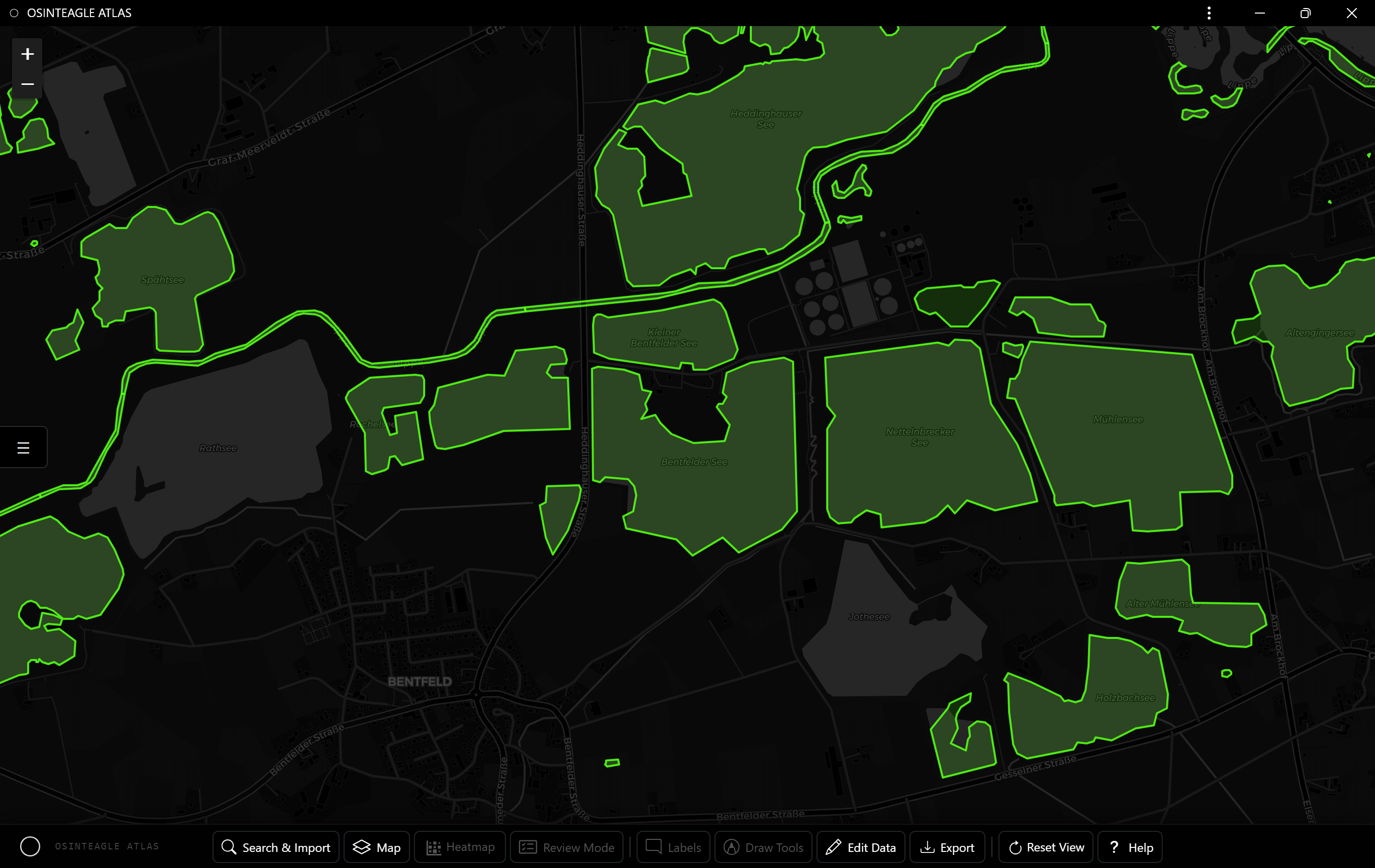
The geospatial intelligence platform by OSINTEAGLE. Capture locations, measure distances, run structured reviews and export verified field reports — fully offline, in a single HTML file.
Everything for geospatial OSINT analysis. Offline capable, no installation.
Click on the map → confirmation popup → icon, color and title. Instant Street View and satellite view.
GeolocationDistance, radius, area, azimuth, text — with color picker. Finish with Enter. Delete by clicking in edit mode.
Draw ToolsAutomatic road detection via Overpass API. Draw camera field of view (FOV) and calculate sun position.
Street ViewSystematic verification: navigate by keyboard, mark as hit (★) or checked (✓), save notes.
ReviewImport CSV/GeoJSON. Export as CSV, GeoJSON, KML or a full HTML field report with interactive map.
I/OConvert DD, DMS, DDM, UTM and MGRS at the touch of a button. Transfer from the center of the map or display immediately.
GEODark, Light, OpenStreetMap, Satellite — one click. Heatmap overlay. Timeline filter with histogram.
MapsRuns as a single HTML file in the browser. Service worker for offline operation. Data stored locally via localStorage.
OfflineQuery builder with tag library and TagFinder integration. Import results directly as map entries.
Overpass
Measure and annotate directly on the map — precise, fast, exportable.

Go through all entries systematically, evaluate and export a field report.

Compatible with QGIS, Google Earth and all common geo tools.
ATLAS is free and open — a single HTML file. Download it and start mapping right away.